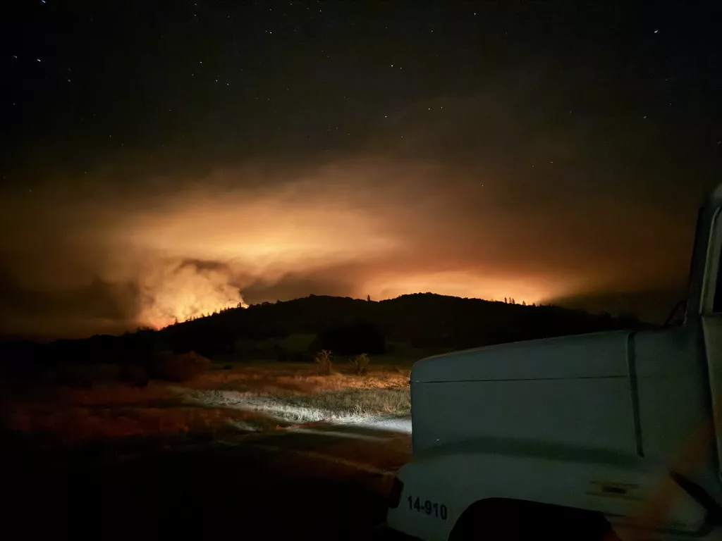
EAGLE POINT, Ore. – Taking advantage of nighttime temperatures, nightshift crews working the Salt Creek Fire were able to tie together, build and improve line around the fire, pushing containment to 2%.
After an overnight infrared (IR) flight, officials used more accurate mapping to place the estimated size at 3,300 acres.
Today, resources will focus on holding and securing existing line and building more where possible. Officials expect vegetation and topography to largely drive the fire along steep terrain and draws. Hazardous trees remain a threat to firefighter safety, as does dehydration when working in these extreme conditions. The incident has no reportable accidents or injuries at this time.
IMT 1 Incident Commander Joe Hessel applauded local firefighting efforts, saying “Crews made great progress working to construct and improve line. Your local initial attack crews gave the team an amazing head start. Now, our goal is to finish the job as safely as possible.”
Level 1, “BE READY,” Evacuations issued by the Jackson County Sheriff’s Office and Emergency Management remain in place for some zones. Learn more about evacuations at: https://protect.genasys.com/
Salt Creek Road and Wasson Canyon Road remained closed at Highway 140, and Double Day Road is closed off of Butte Falls Highway. Highway 140 and Butte Falls Highway remain open.
Local fire danger levels are now set to “extreme”, and regulations are in place. Learn more at:
• The ODF Southwest Oregon District: https://swofire.com/
• The RRSNF Alerts and Notices page www.fs.usda.gov/alerts/rogue-siskiyou/alerts-notices and website homepage www.fs.usda.gov/rogue-siskiyou
• The BLM OR/WA Fire Management Page: www.blm.gov/orwafire
The Salt Creek Fire is located 10 miles east of Eagle Point and was first reported Sunday, July 7, just after 4 p.m. The cause is under investigation.