ODF: Upper Applegate Fire 15% mopped up

Update for the morning of June 28, 2024: Overnight, firefighters working the Upper Applegate Fire, located south of Ruch, were able to increase the direct line around the fire to 70%, leaving only 30% indirectly lined. Strategic firing operations were used in the cooler temperatures and higher relative humidity; this is helping to close the gap between the fire’s edge and the indirect line on a portion of the north end of the fire. This work has been conducted in small, manageable sections and is helping to strengthen line built, providing a much more secure buffer between the fire and homes in the area.

This morning, the fire remains 937 acres and 15% mopped up, however resources today will continue that work. The night shift was also able to walk the southern part of the fire with IR cameras where the majority of mop-up operations has been taking place, and identify hot spots that aren’t easily detected otherwise. Firefighters working day shift will be able to use these maps and images to be more thorough in their efforts today.

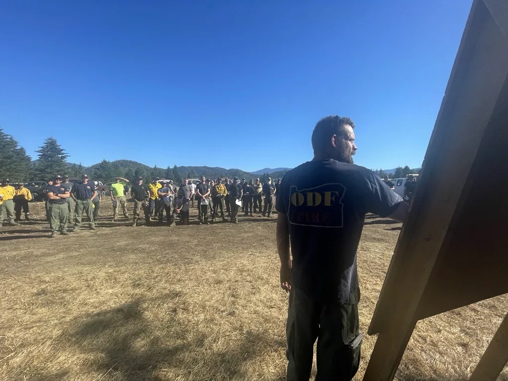
More than 370 personnel will be working on the fire today, including 13 20-person crews, five engines, four bulldozers, eight water tenders, 10 tree fallers and 10 medical personnel. Aircraft assigned to the fire includes two Type 1 and two Type 2 helicopters for water bucket drops, as well as a Type 3 that is being used as air attack to provide coordination from the sky. Additional aircraft will be ordered as necessary, however this fleet has been sufficient in that last couple days.

The BLM has issued a closure order for BLM-managed lands in the fire area, including Grouse Creek Road. A map and additional information is available at https://www.blm.gov/orwafire. Little Applegate road and Applegate Lake remain open, however firefighters are working near and on the side of the road 24 hours a day. Please be aware and follow all reduced speed road signs in the area. Additionally, fire-related traffic may be impacting the Provolt area; please be aware when driving this stretch of Highway 238.

Evacuation orders remain in effect, put in place by the Jackson County Sheriff‘s Office and Jackson County Emergency Management. Zone JAC-434 is on a Level 1 – Be Ready notice. Zone JAC-436 remains at Level 2 – Be Set. More information about zones and locations is available at: https://protect.genasys.com/.

This fire is affecting private, BLM and U.S. Forest Service (USFS) land on the Rogue River-Siskiyou National Forest. It was first reported in the late afternoon of Thursday, June 20.

The fire danger level on the ODF Southwest Oregon District is currently moderate (blue) and regulations are in place. Please be aware of and follow all current restrictions to help reduce the risk of fires in our communities. Fire season information is also available on our website: www.swofire.com.

Recommended Posts

Loading...